All projects
Project 05 · Land services
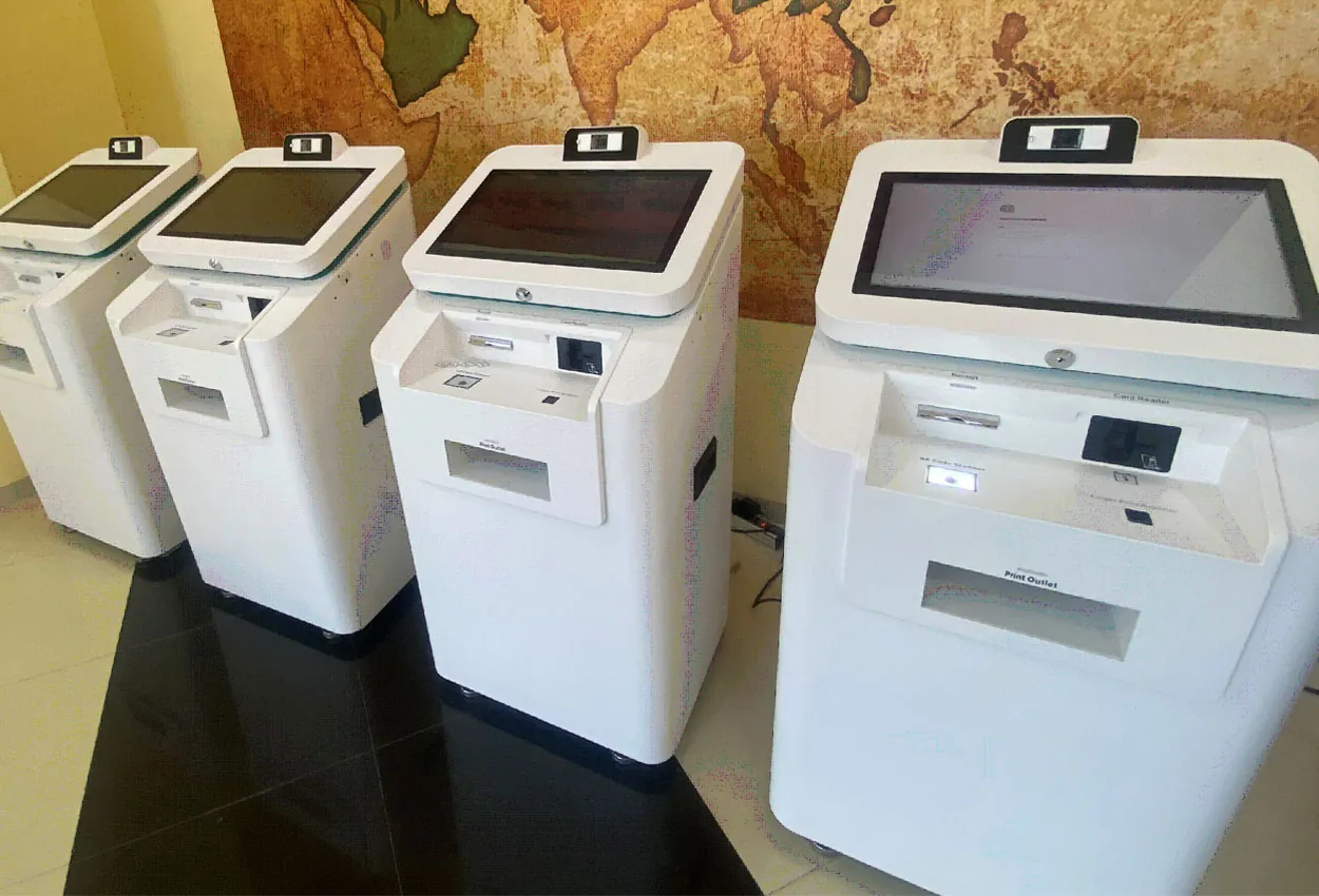
Land Service Kiosk
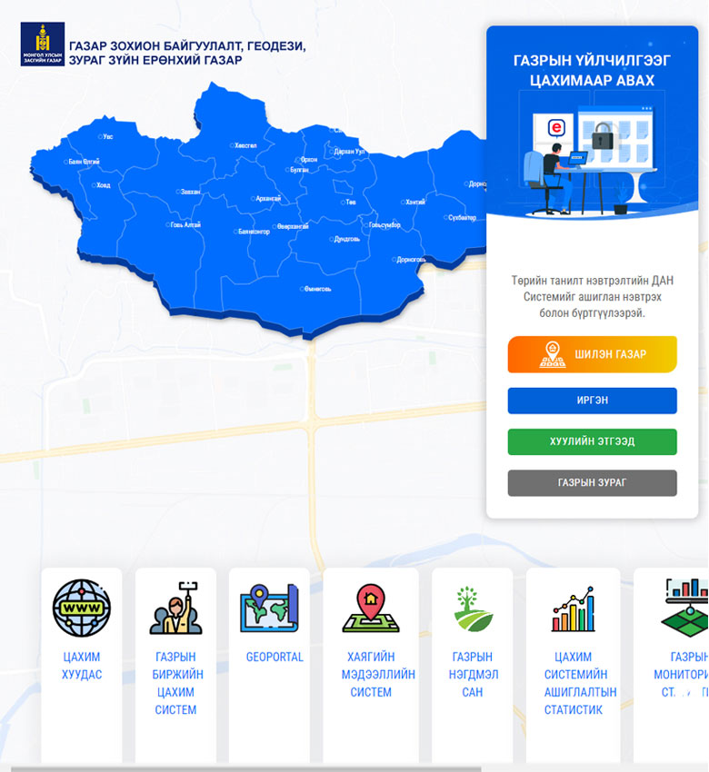
Services of the General Authority for Land Management, Geodesy and Cartography delivered through kiosk machines placed in rural areas and city districts.
~70Service types
52Online applications
12Free references
1 min18 services in one place
Results
What changed for citizens
At the kiosk, users can check the status of online requests, generate digital contracts and certificates, check land fees and pay them by QR code.
- Contracts, certificates, cadastral maps, land quality reports, mortgage and fee information used to require 6–10 signatures; now 18 services are available in one place within 1 minute.
- Citizens and businesses use any nearby kiosk instead of visiting a land office.
- The most used services are cadastral maps, certificates and contracts.
- Making some services paid covers the kiosks’ running costs.
Challenge and solution
What it was like before, and what changed
Problems to solve
- Delivering land services through kiosks was being done for the first time.
- Citizens had to be identified by the phone number registered in the land system or by national ID card.
- SMS had to be sent to every mobile operator.
- Cadastral maps had to be generated afresh for each request.
Implemented solution
- 01Land services are available from kiosks anywhere in Mongolia.
- 02Sign-in by SMS to the registered phone number.
- 03Sign-in by reading the national ID card and registration number.
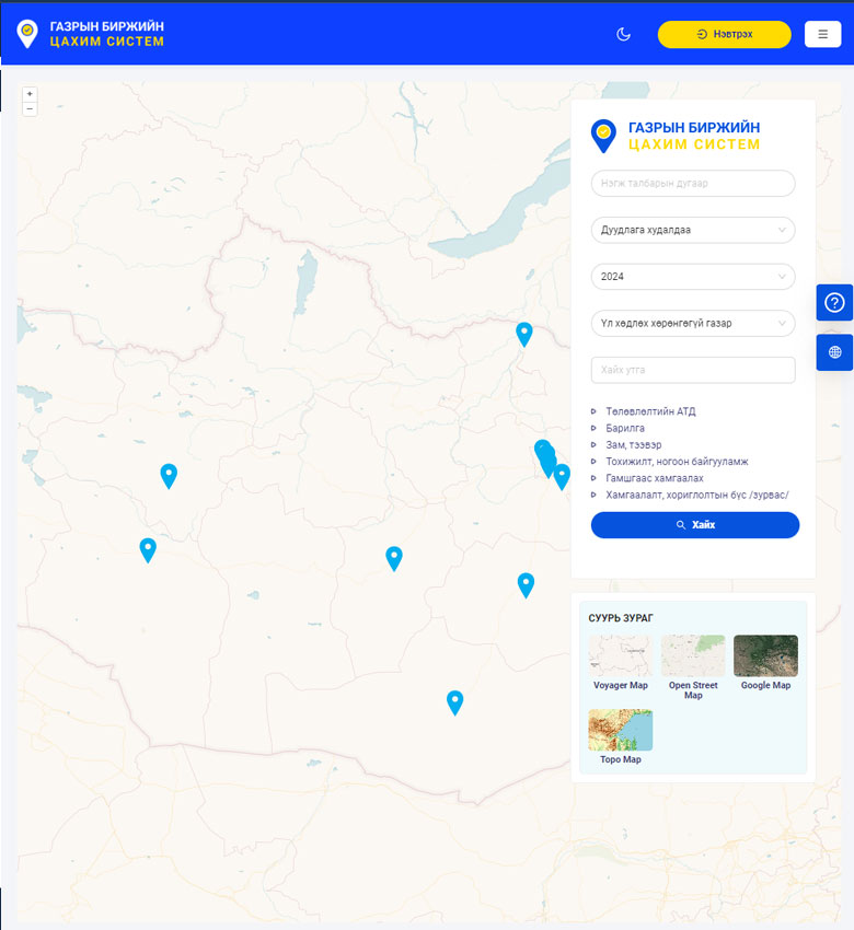
- 04Land-related electronic files held by the land office can be downloaded and printed.
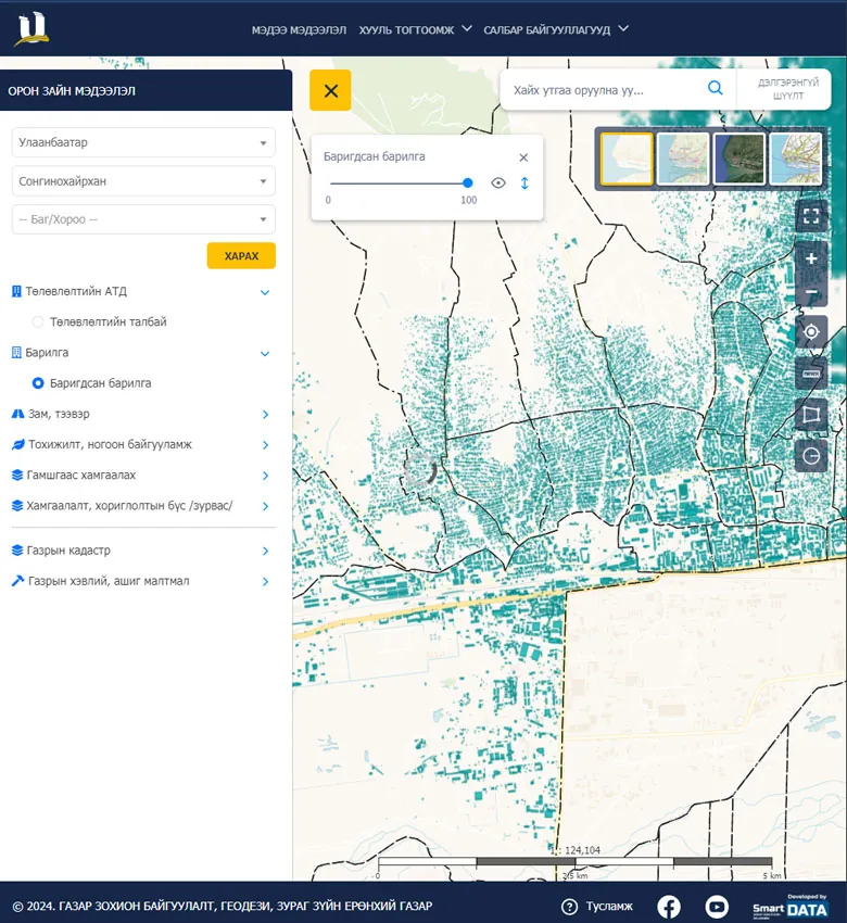
- 05Cadastral maps are generated on demand and printed in their latest state.
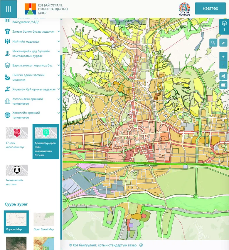
- 06Users can comment on land management plans.
- 07Users can submit requests about their own land.
- 08Paid services can be paid with QPay.

Technology
ID card readerSMS sign-inQPayA4 printerLand Management Integrated System