Capital City Road and Road Infrastructure Registration System (Road ERP)

  • Home
  • Capital City Road and Road Infrastructure Registration System
image
image
About the Project

Project Overview

The goal of this project is to implement a spatial data-based integrated management system that reports information on the capital city's roads and road infrastructure in line with user requirements, enrich the base data of the database, and improve the quality and accuracy of information.

image
Challenge

Problems to Solve

Technical & Technological:

  • Need to build a web-based integrated management system
  • Need to create a public portal website and mobile application
  • Need to procure new servers and hardware, and configure systems on them
  • Need to migrate and import data from the existing ArcGIS system

Operational:

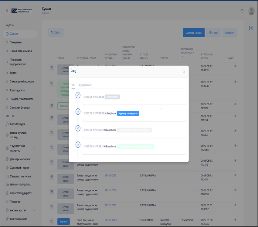
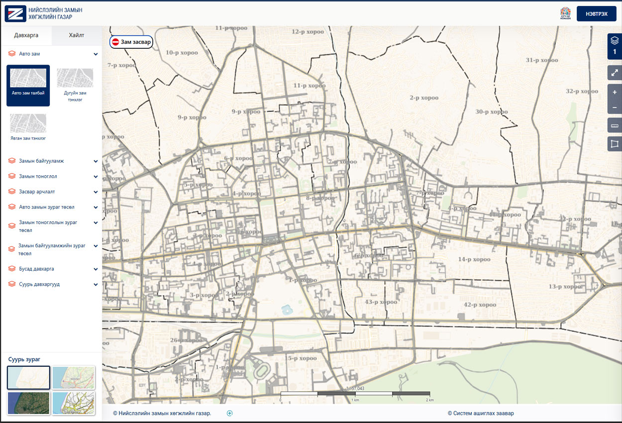
  • Develop a portal website and internal management system with a modern design
  • Model all business processes for orders, contracts, and permits conducted at the Road Development Agency
  • Enable citizens and businesses to submit requests, petitions, and complaints related to the Road Development Agency online
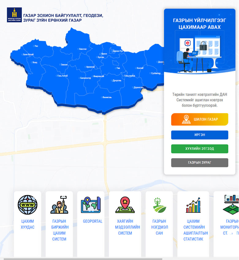
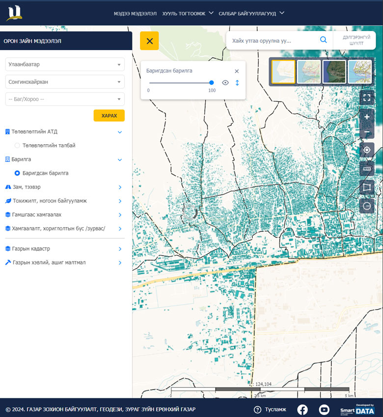
  • Integrate the Road Management System with the Land Management System
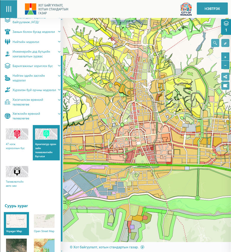
  • Integrate the Road Management System with the Urban Construction System of the Urban Construction and Urban Standards Agency
  • Conduct training for all staff and specialists and roll out the system
Solution

Implemented Solution

Technical & Technological:

  • Deployed our proprietary Spatial Management Integrated Platform, consistent with previously implemented systems
  • Developed a mobile application (React Native) and web systems based on the Laravel Framework
  • Built the mapping system on GeoServer

Operational:

  • Developed the public portal with a fresh new design and visual identity
  • Integrated the DAN national identity authentication system for citizens and businesses
  • Enabled receiving and processing all types of requests (now handles 40+ request types including sign markings, field surveys, and permits)
  • Enabled multiple types of registrations (orders, contracts, project activities, client monitoring, etc. — expandable)
  • Enabled registration of all types of spatial layers
image
Results

Project Results

A unified database for all roads and road infrastructure across the capital city has been established. Business processes for internal operations have been mapped and the necessary workflows have been programmed. Citizens and businesses can now submit various types of requests, which are processed and delivered through the public portal.

Links

Project Details

Client: Road Development Agency

Funder: Road Development Agency

Implemented: 2024

Public Portal: www.ubroad.mn

Other Case Studies

image
General Authority for Land Management, Geodesy and Cartography

Land Management Integrated System

image
Urban Development Agency

Capital City Urban Construction System

image
General Authority for Land Management, Geodesy and Cartography

National Urban Cadastral System

image
General Authority for Land Management, Geodesy and Cartography

Land Service Kiosk Machine

image
Capital City Land Management Office

Land Auction System

Join Us

Join our team and work on exciting projects to grow your skills and expertise.

image